Aerial
mapping
Services
What we do
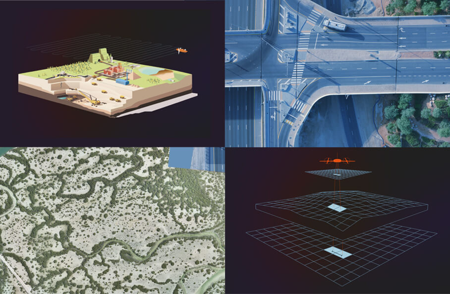
Aerial mapping is a sophisticated geospatial technology that involves the acquisition of high-resolution imagery and geospatial data from an aerial perspective.
Unlike traditional mapping methods, which rely on ground-level surveys, aerial mapping employs airplanes, drones, or satellites to capture detailed and comprehensive images that are then processed together and used to create accurate maps of the Earth’s surface.
Aerial mapping operates from relatively lower altitudes, capturing aerial photographs from aircrafts or drones flying at lower altitudes

Whether you are working on building renovations or new construction, 3D laser scanning allows designers and other construction professionals to ensure project accuracy by measuring progress against the original design. This process ensures that there is an accurate record to refer to during every phase of the construction cycle.
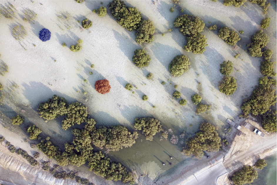
A digital orthophoto is a computer-generated image of an aerial photograph in which displacements (distortions) caused by terrain relief and camera tilts have been removed. It combines the image characteristics of a photograph with the geometric qualities of a map.
Unlike an aerial photograph, an orthoimage has a uniform scale, so it can be used as a base map onto which other map information is overlaid. It is possible to measure directly on an orthoimage, just like other maps.


