
Professional
Surveying
Services
Services
What we do
3D Laser
Scanning
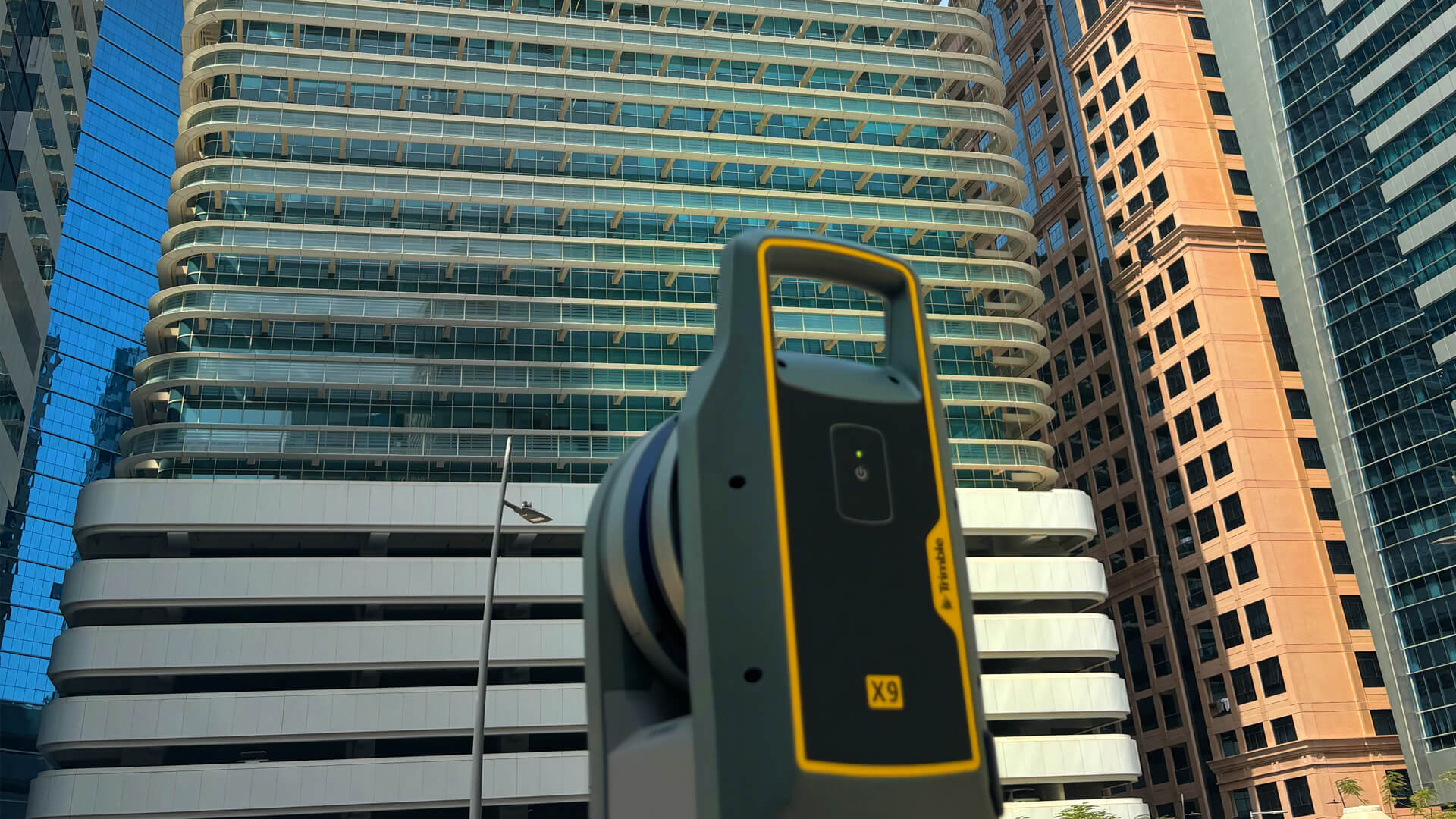
3D Laser Scanning, also known as High Definition Survey, provides highly precise 3D survey data that is more economical compared to traditional survey techniques.
More →Aerial
mapping
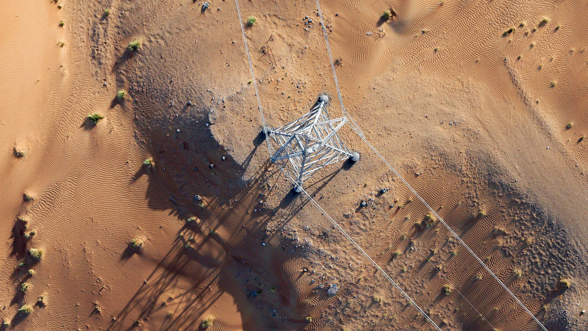
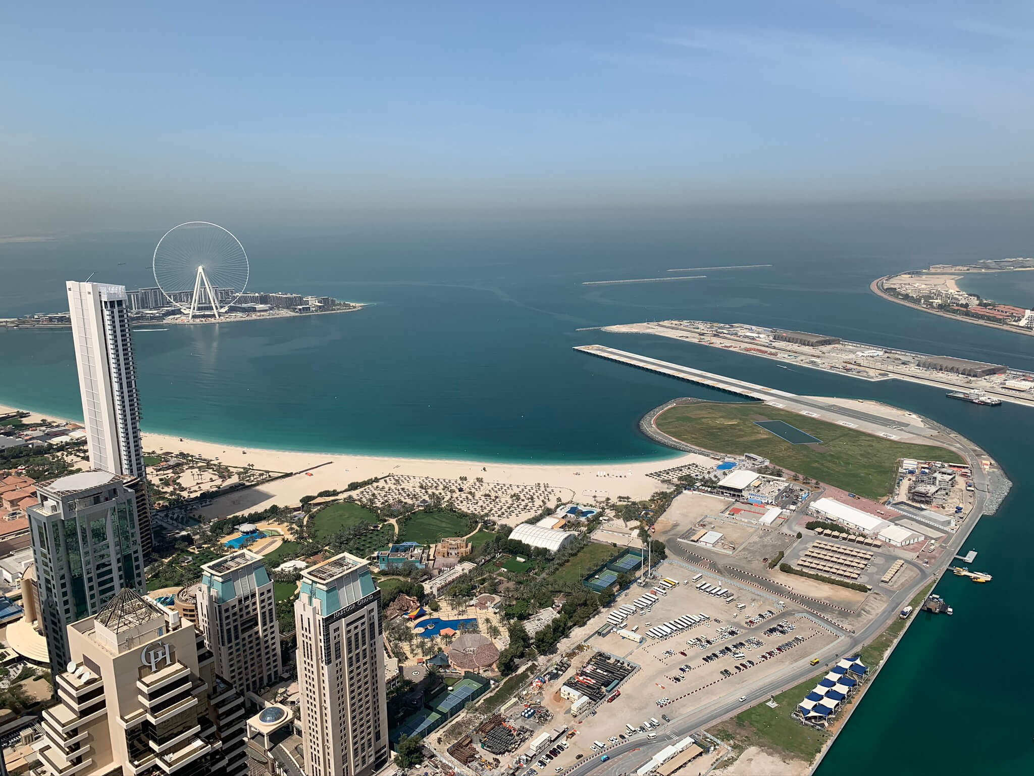
Aerial mapping is a sophisticated geospatial technology that involves the acquisition of high-resolution imagery and geospatial data from an aerial perspective.
More →Topographical
Survey
Topographic surveys fulfill a variety of purposes, primarily by mapping the surface of the land with contours, spot elevations, and other features for accurate planning.
More →Surveying
Engineering
Lorem ipsum dolor sit amet, consectetuer adipiscing elit, sed diam nonummy nibh euismod tincidunt ut laoreet Lorem ipsum dolor sit amet,
More →Heritage Survey
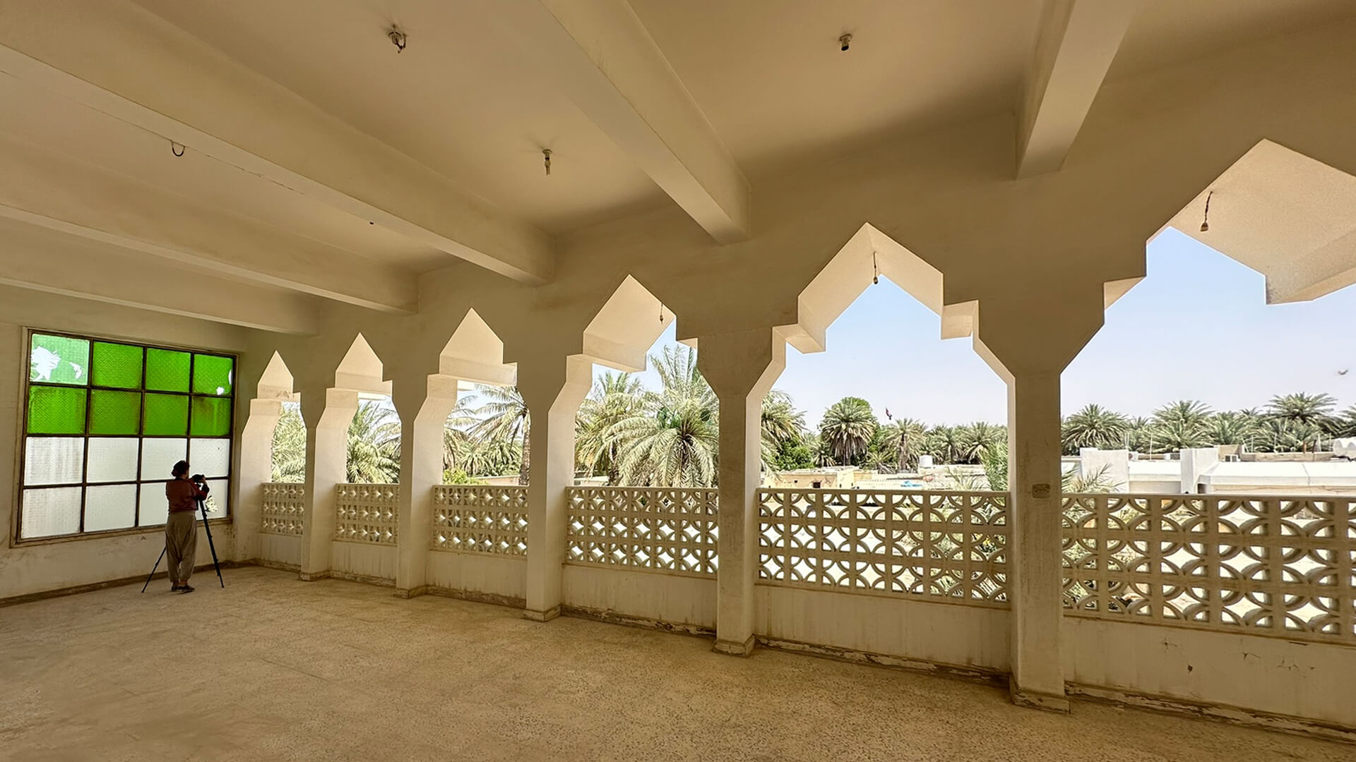
Documentation
Lorem ipsum dolor sit amet, consectetuer adipiscing elit, sed diam nonummy nibh euismod tincidunt ut laoreet Lorem ipsum dolor sit amet,
More →Hydrographic
survey
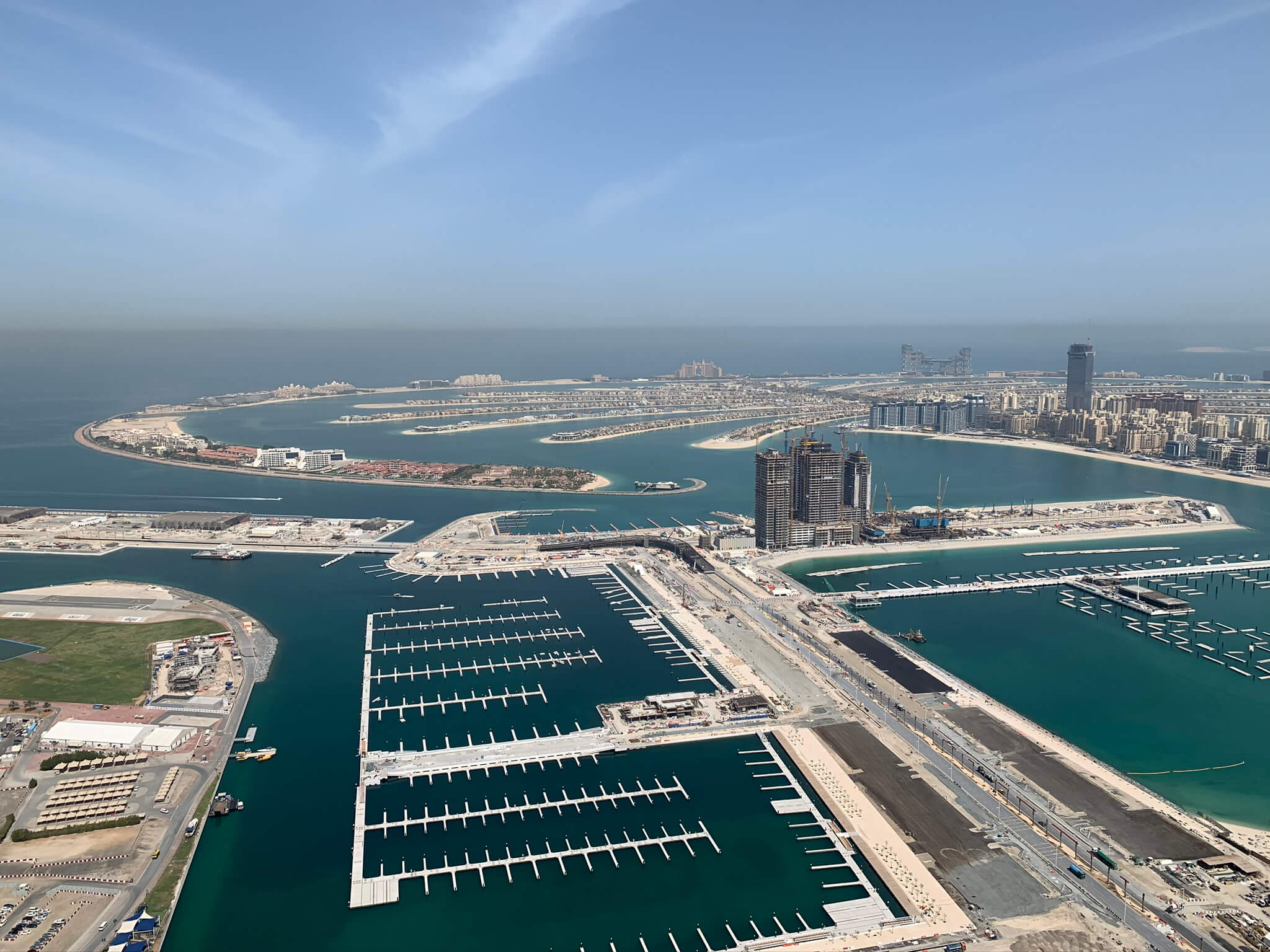
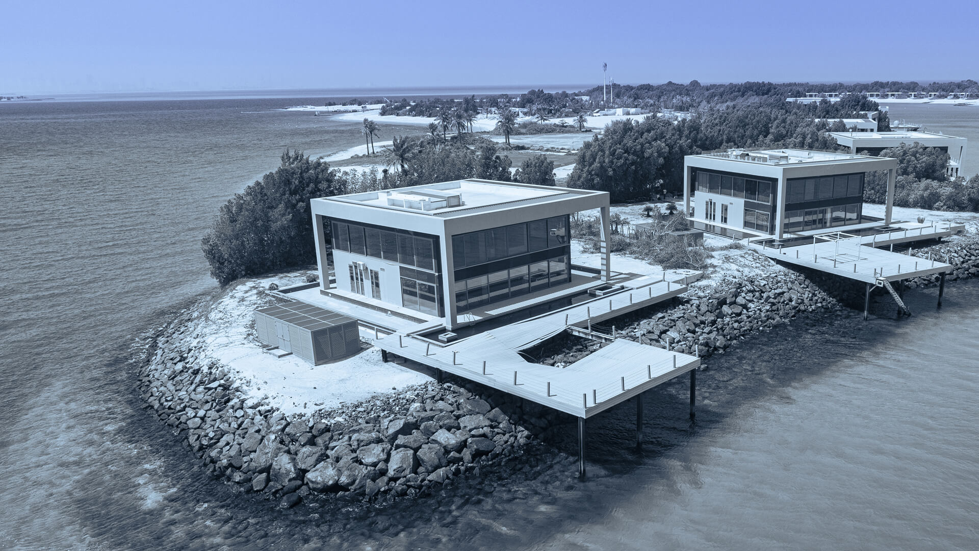
Bathymetric and hydrographic surveys are essential for understanding underwater environments, mapping the seafloor, and managing water bodies.
More →Projects
What we done


About Us
Our team
Our rich offer and positive relations with clients the company owes to the whole 3Deling team – professionals who work with passion. The crew consists of nearly 40 highly specialized engineers who got degrees on the best technical universities in Poland and abroad.
More →
